Lane to Low Field, near Eppleby, North Yorkshire
Introduction
The photograph on this page of Lane to Low Field, near Eppleby, North Yorkshire by Oliver Dixon as part of the Geograph project.
The Geograph project started in 2005 with the aim of publishing, organising and preserving representative images for every square kilometre of Great Britain, Ireland and the Isle of Man.

There are currently over 7.5m images from over 14,400 individuals and you can help contribute to the project by visiting https://www.geograph.org.uk
Lane to Low Field, near Eppleby, North Yorkshire
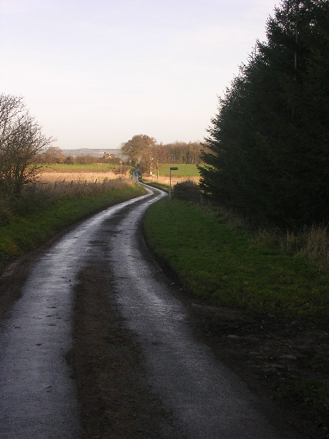
Image: © Oliver Dixon Taken: 19 Dec 2005
Cul de sac country lane running north from the Manfield to Eppleby road to Low Field and Cliffe Hall. Looking north just by the northern end of Burnthouse Plantation.
Images are licensed for reuse under creativecommons.org/licenses/by-sa/2.0
Image Location
Latitude
54.527231
Longitude
-1.707941