Poplar: Former Spratts' Pet Food factory (2)
Introduction
The photograph on this page of Poplar: Former Spratts' Pet Food factory (2) by Nigel Cox as part of the Geograph project.
The Geograph project started in 2005 with the aim of publishing, organising and preserving representative images for every square kilometre of Great Britain, Ireland and the Isle of Man.

There are currently over 7.5m images from over 14,400 individuals and you can help contribute to the project by visiting https://www.geograph.org.uk
Poplar: Former Spratts' Pet Food factory (2)
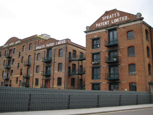
Image: © Nigel Cox Taken: 19 Aug 2008
This is the north façade of the former pet food factory, backing onto the Limehouse Cut, and viewed from the north end of the road bridge over the cut.
Images are licensed for reuse under creativecommons.org/licenses/by-sa/2.0
Image Location
Latitude
51.518511
Longitude
-0.016052