St Teath: footpath opposite Gipsy Lane
Introduction
The photograph on this page of St Teath: footpath opposite Gipsy Lane by Martin Bodman as part of the Geograph project.
The Geograph project started in 2005 with the aim of publishing, organising and preserving representative images for every square kilometre of Great Britain, Ireland and the Isle of Man.

There are currently over 7.5m images from over 14,400 individuals and you can help contribute to the project by visiting https://www.geograph.org.uk
St Teath: footpath opposite Gipsy Lane
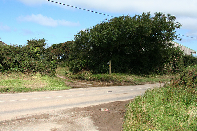
Image: © Martin Bodman Taken: 22 Aug 2008
The public footpath – rather overgrown after August rains – leads to Dannonchapel and the coast. By the B3314 road linking Delabole and places such as Port Isaac and Rock
Images are licensed for reuse under creativecommons.org/licenses/by-sa/2.0
Image Location
Latitude
50.609488
Longitude
-4.748352