Walthamstow Marshes
Introduction
The photograph on this page of Walthamstow Marshes by John Davies as part of the Geograph project.
The Geograph project started in 2005 with the aim of publishing, organising and preserving representative images for every square kilometre of Great Britain, Ireland and the Isle of Man.

There are currently over 7.5m images from over 14,400 individuals and you can help contribute to the project by visiting https://www.geograph.org.uk
Walthamstow Marshes
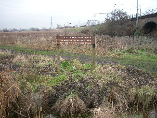
Image: © John Davies Taken: 20 Dec 2005
This area of wetlands, now a nature reserve, is bounded to the west by the Lee Navigation and is crossed by the railway out of Liverpool Street on an embankment. This view is to the north-east taken from close to the railway bridge over the canal.
Images are licensed for reuse under creativecommons.org/licenses/by-sa/2.0
Image Location


Leaflet Map data © OpenStreetMap
Latitude
51.568419
Longitude
-0.053561