Boustead Hill
Introduction
The photograph on this page of Boustead Hill by Oliver Dixon as part of the Geograph project.
The Geograph project started in 2005 with the aim of publishing, organising and preserving representative images for every square kilometre of Great Britain, Ireland and the Isle of Man.

There are currently over 7.5m images from over 14,400 individuals and you can help contribute to the project by visiting https://www.geograph.org.uk
Boustead Hill
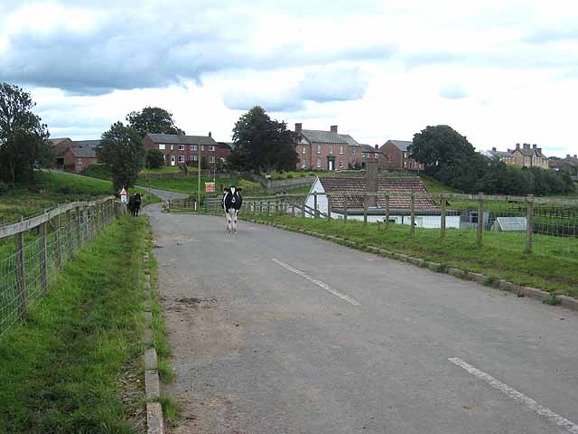
Image: © Oliver Dixon Taken: 22 Aug 2008
Boustead Hill is a hamlet occupying a small island of higher ground adjoining the Solway marshes. Seen from the coast road which carries both Hadrian's Wall National Trail http://www.nationaltrail.co.uk/hadrianswall/ and Hadrian's Cycleway http://www.cycle-routes.org/hadrianscycleway/
Images are licensed for reuse under creativecommons.org/licenses/by-sa/2.0
Image Location
Latitude
54.921936
Longitude
-3.103362