Walton-on-Thames: Shaw Drive or Fishmore Farm pond
Introduction
The photograph on this page of Walton-on-Thames: Shaw Drive or Fishmore Farm pond by Nigel Cox as part of the Geograph project.
The Geograph project started in 2005 with the aim of publishing, organising and preserving representative images for every square kilometre of Great Britain, Ireland and the Isle of Man.

There are currently over 7.5m images from over 14,400 individuals and you can help contribute to the project by visiting https://www.geograph.org.uk
Walton-on-Thames: Shaw Drive or Fishmore Farm pond
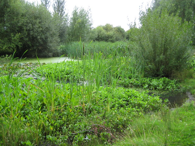
Image: © Nigel Cox Taken: 13 Aug 2008
This pond is obviously well-managed with a great variety of water-loving plants and can be found in the landscaped open space between Shaw Drive and Regency Gardens, giving the impression that it is a recent man-made feature. However it is an old pond that is clearly shown on all the old Ordnance Survey maps up to and including the edition of 1938, just upstream of a farm aptly called Fishmore. Fishmore Farm itself was almost certainly demolished during the works to build the adjacent Queen Elizabeth II Reservoir, and it is a shame that those responsible for naming the new housing estate roads that have sprung up since have not seen fit to maintain the memory of this place.
Images are licensed for reuse under creativecommons.org/licenses/by-sa/2.0
Image Location
Latitude
51.386547
Longitude
-0.401618