East Molesey: Hampton Court Parade
Introduction
The photograph on this page of East Molesey: Hampton Court Parade by Nigel Cox as part of the Geograph project.
The Geograph project started in 2005 with the aim of publishing, organising and preserving representative images for every square kilometre of Great Britain, Ireland and the Isle of Man.

There are currently over 7.5m images from over 14,400 individuals and you can help contribute to the project by visiting https://www.geograph.org.uk
East Molesey: Hampton Court Parade
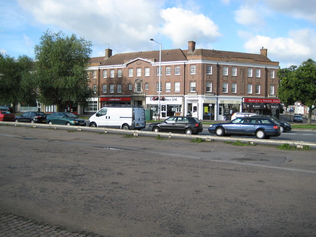
Image: © Nigel Cox Taken: 13 Aug 2008
Hampton Court Parade was built in the 1930s as shops with flats above. The shorter element of the building on the right is in fact the centre of the parade and there is another longer arm, similar to the one on the left, hidden out of sight around the corner on the right side. From a geographical aspect what is interesting about this building is that, until the current Hampton Court Bridge was built in 1933, the River Mole ran through where the centre part of the building is now, about 150 metres upstream of its former confluence with the River Thames.
Images are licensed for reuse under creativecommons.org/licenses/by-sa/2.0
Image Location
Latitude
51.401835
Longitude
-0.343435