Marie Curie Cancer Care Garden of Hope
Introduction
The photograph on this page of Marie Curie Cancer Care Garden of Hope by Martin Addison as part of the Geograph project.
The Geograph project started in 2005 with the aim of publishing, organising and preserving representative images for every square kilometre of Great Britain, Ireland and the Isle of Man.

There are currently over 7.5m images from over 14,400 individuals and you can help contribute to the project by visiting https://www.geograph.org.uk
Marie Curie Cancer Care Garden of Hope
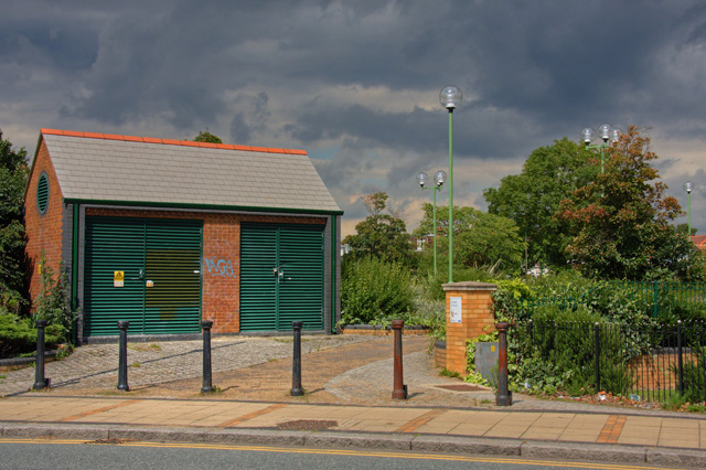
Image: © Martin Addison Taken: 22 Aug 2008
The main section of the garden is on the east side of East End Road. There is a path and seats under the lights. The garden is often home to those without hope. The building is an electricity sub-station.
Images are licensed for reuse under creativecommons.org/licenses/by-sa/2.0
Image Location
Latitude
51.59443
Longitude
-0.183978