Farm Road to South Farm Rodmell
Introduction
The photograph on this page of Farm Road to South Farm Rodmell by mickie collins as part of the Geograph project.
The Geograph project started in 2005 with the aim of publishing, organising and preserving representative images for every square kilometre of Great Britain, Ireland and the Isle of Man.

There are currently over 7.5m images from over 14,400 individuals and you can help contribute to the project by visiting https://www.geograph.org.uk
Farm Road to South Farm Rodmell
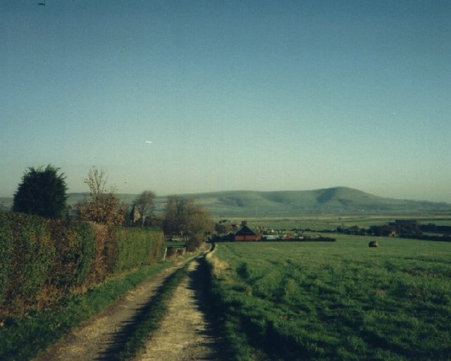
Image: © mickie collins Taken: Unknown
The Farm Road ran from the C7 Newhaven to Lewes Road to South Farm. Mount Caburn can be seen in the background
Images are licensed for reuse under creativecommons.org/licenses/by-sa/2.0
Image Location
Latitude
50.836992
Longitude
0.016687