Rayleigh Fire Station
Introduction
The photograph on this page of Rayleigh Fire Station by Trevor Harris as part of the Geograph project.
The Geograph project started in 2005 with the aim of publishing, organising and preserving representative images for every square kilometre of Great Britain, Ireland and the Isle of Man.

There are currently over 7.5m images from over 14,400 individuals and you can help contribute to the project by visiting https://www.geograph.org.uk
Rayleigh Fire Station
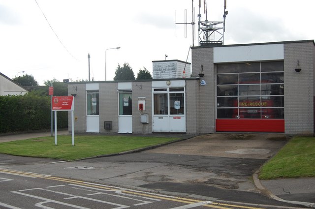
Image: © Trevor Harris Taken: 21 Aug 2008
This fire station is soon to be replaced by a new one currently being built on Stadium Way Trading Estate, Rayleigh Weir.
Images are licensed for reuse under creativecommons.org/licenses/by-sa/2.0
Image Location
Latitude
51.581787
Longitude
0.606238