Towy Valley Floods
Introduction
The photograph on this page of Towy Valley Floods by George Causley as part of the Geograph project.
The Geograph project started in 2005 with the aim of publishing, organising and preserving representative images for every square kilometre of Great Britain, Ireland and the Isle of Man.

There are currently over 7.5m images from over 14,400 individuals and you can help contribute to the project by visiting https://www.geograph.org.uk
Towy Valley Floods
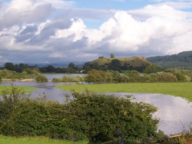
Image: © George Causley Taken: 19 Aug 2008
Unseasonal rain 18-19 August 2008 led to Summer flooding of lower Towy Valley. The river normally runs behind the line of trees in the middle ground. The backdrop is Dryslwyn castle.
Images are licensed for reuse under creativecommons.org/licenses/by-sa/2.0
Image Location


Leaflet Map data © OpenStreetMap
Latitude
51.864054
Longitude
-4.114492