Green Fields between New Housing in Inverness
Introduction
The photograph on this page of Green Fields between New Housing in Inverness by Sarah McGuire as part of the Geograph project.
The Geograph project started in 2005 with the aim of publishing, organising and preserving representative images for every square kilometre of Great Britain, Ireland and the Isle of Man.

There are currently over 7.5m images from over 14,400 individuals and you can help contribute to the project by visiting https://www.geograph.org.uk
Green Fields between New Housing in Inverness
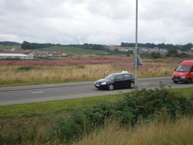
Image: © Sarah McGuire Taken: 20 Aug 2008
The local council policy is that there will be as much land left "Green" as there is built on. The building on the left is the new Inshes Primary School. The road is the B8082.
Images are licensed for reuse under creativecommons.org/licenses/by-sa/2.0
Image Location
Latitude
57.463959
Longitude
-4.191347