Storm clouds over Throstle Nest
Introduction
The photograph on this page of Storm clouds over Throstle Nest by Wendy North as part of the Geograph project.
The Geograph project started in 2005 with the aim of publishing, organising and preserving representative images for every square kilometre of Great Britain, Ireland and the Isle of Man.

There are currently over 7.5m images from over 14,400 individuals and you can help contribute to the project by visiting https://www.geograph.org.uk
Storm clouds over Throstle Nest
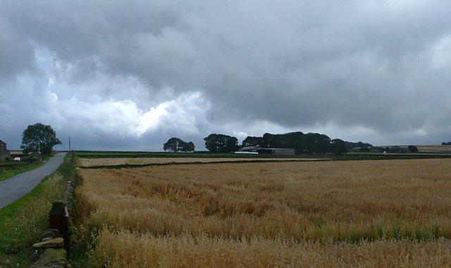
Image: © Wendy North Taken: 19 Aug 2008
Back Lane can just be seen on the left of the photo with Salter Hill House on the extreme left. The name Salter Hill is probably derived from the connection with the West Yorkshire to Cheshire salt trail. See also the view of Throstle Nest from Cranberry Road Image
Images are licensed for reuse under creativecommons.org/licenses/by-sa/2.0
Image Location
Latitude
53.502931
Longitude
-1.620343