Caerllion and Usk Valley, Monmouthshire
Introduction
The photograph on this page of Caerllion and Usk Valley, Monmouthshire by Ralph Rawlinson as part of the Geograph project.
The Geograph project started in 2005 with the aim of publishing, organising and preserving representative images for every square kilometre of Great Britain, Ireland and the Isle of Man.

There are currently over 7.5m images from over 14,400 individuals and you can help contribute to the project by visiting https://www.geograph.org.uk
Caerllion and Usk Valley, Monmouthshire
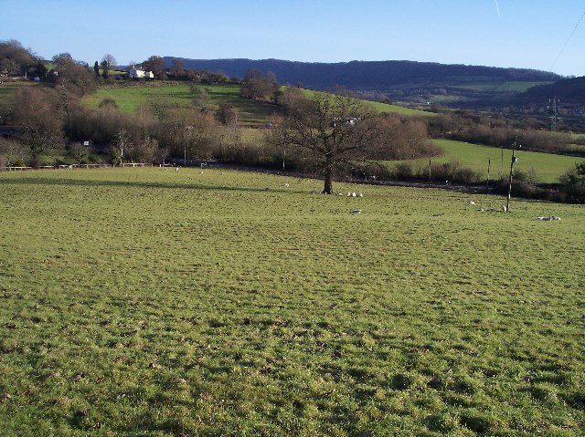
Image: © Ralph Rawlinson Taken: 17 Dec 2005
View from the Marches Way at Caerllion looking east over the Usk Valley to Kemays Ridge, the highest point of which is Caer Licyn 792ft asl.
Images are licensed for reuse under creativecommons.org/licenses/by-sa/2.0
Image Location


Leaflet Map data © OpenStreetMap
Latitude
51.620294
Longitude
-2.947502