Boating lake, Buckhurst Hill
Introduction
The photograph on this page of Boating lake, Buckhurst Hill by John Davies as part of the Geograph project.
The Geograph project started in 2005 with the aim of publishing, organising and preserving representative images for every square kilometre of Great Britain, Ireland and the Isle of Man.

There are currently over 7.5m images from over 14,400 individuals and you can help contribute to the project by visiting https://www.geograph.org.uk
Boating lake, Buckhurst Hill
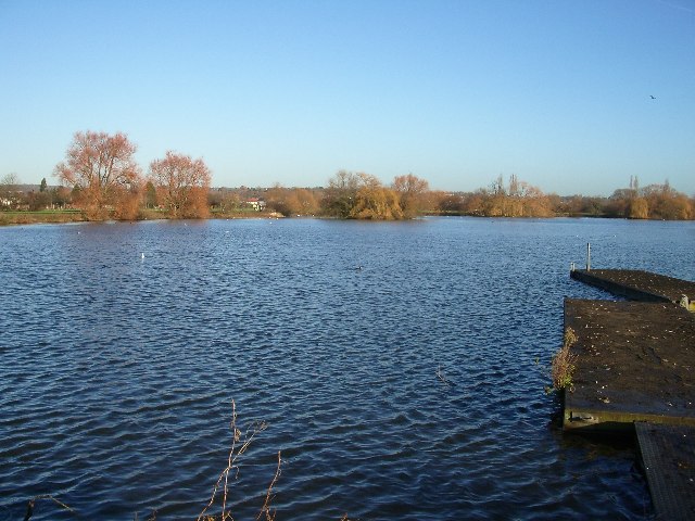
Image: © John Davies Taken: 19 Dec 2005
Former gravel pit now a popular recreational area. Looking north, with the River Roding, flowing north to south, about 100 metres on the right.
Images are licensed for reuse under creativecommons.org/licenses/by-sa/2.0
Image Location


Leaflet Map data © OpenStreetMap
Latitude
51.62855
Longitude
0.058823