Salterhall Quarry, part of Rowrah Quarry
Introduction
The photograph on this page of Salterhall Quarry, part of Rowrah Quarry by Malcolm Reeve as part of the Geograph project.
The Geograph project started in 2005 with the aim of publishing, organising and preserving representative images for every square kilometre of Great Britain, Ireland and the Isle of Man.

There are currently over 7.5m images from over 14,400 individuals and you can help contribute to the project by visiting https://www.geograph.org.uk
Salterhall Quarry, part of Rowrah Quarry
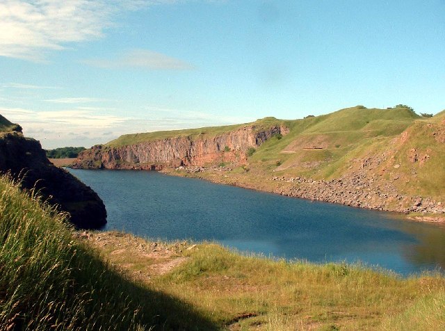
Image: © Malcolm Reeve Taken: 23 Jun 2005
This limestone quarry has become water-filled since it was abandoned. Its western cliffs now provide a home for birds and its waters a final resting place for burnt-out cars.
Images are licensed for reuse under creativecommons.org/licenses/by-sa/2.0
Image Location
Latitude
54.54398
Longitude
-3.456106