Hobkirk Parish Churchyard
Introduction
The photograph on this page of Hobkirk Parish Churchyard by Walter Baxter as part of the Geograph project.
The Geograph project started in 2005 with the aim of publishing, organising and preserving representative images for every square kilometre of Great Britain, Ireland and the Isle of Man.

There are currently over 7.5m images from over 14,400 individuals and you can help contribute to the project by visiting https://www.geograph.org.uk
Hobkirk Parish Churchyard
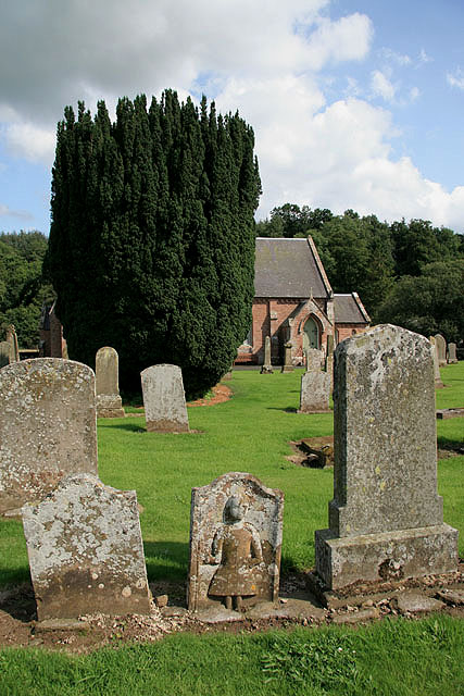
Image: © Walter Baxter Taken: 16 Aug 2008
The churchyard contains a good selection of headstones, obelisks and old symbolic stones. Part of the church is visible behind the yew tree.
Images are licensed for reuse under creativecommons.org/licenses/by-sa/2.0
Image Location


Leaflet Map data © OpenStreetMap
Latitude
55.390578
Longitude
-2.653673