Main Street, Stanton under Bardon
Introduction
The photograph on this page of Main Street, Stanton under Bardon by Stephen McKay as part of the Geograph project.
The Geograph project started in 2005 with the aim of publishing, organising and preserving representative images for every square kilometre of Great Britain, Ireland and the Isle of Man.

There are currently over 7.5m images from over 14,400 individuals and you can help contribute to the project by visiting https://www.geograph.org.uk
Main Street, Stanton under Bardon
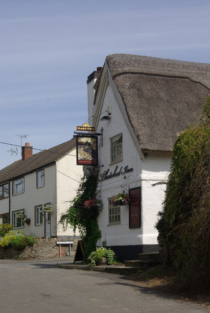
Image: © Stephen McKay Taken: 15 Aug 2008
The Old Thatched Inn is on the right, with the turn for Meadow Lane just beyond.
Images are licensed for reuse under creativecommons.org/licenses/by-sa/2.0
Image Location
Latitude
52.686596
Longitude
-1.312352