Baile Mhic' Ph?il
Introduction
The photograph on this page of Baile Mhic' Ph?il by Richard Webb as part of the Geograph project.
The Geograph project started in 2005 with the aim of publishing, organising and preserving representative images for every square kilometre of Great Britain, Ireland and the Isle of Man.

There are currently over 7.5m images from over 14,400 individuals and you can help contribute to the project by visiting https://www.geograph.org.uk
Baile Mhic' Ph?il
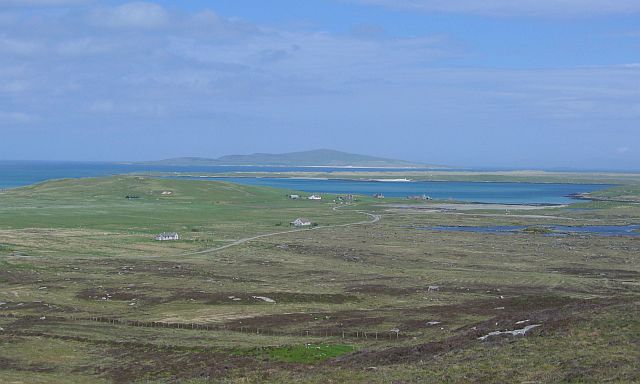
Image: © Richard Webb Taken: 30 May 2004
Crofting township on green machair land, seen from the rather less fertile peaty slopes of Beinn Mhòr. Pabbay in the distance.
Images are licensed for reuse under creativecommons.org/licenses/by-sa/2.0
Image Location
Latitude
57.679051
Longitude
-7.2141