Oliver's Mount Farm
Introduction
The photograph on this page of Oliver's Mount Farm by Paul Glazzard as part of the Geograph project.
The Geograph project started in 2005 with the aim of publishing, organising and preserving representative images for every square kilometre of Great Britain, Ireland and the Isle of Man.

There are currently over 7.5m images from over 14,400 individuals and you can help contribute to the project by visiting https://www.geograph.org.uk
Oliver's Mount Farm
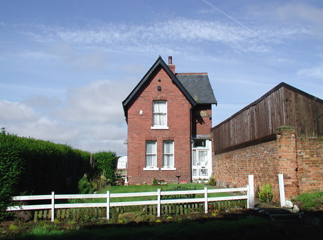
Image: © Paul Glazzard Taken: 15 Aug 2008
The farmhouse built in 1897 at Oliver's Mount Farm, just west of the hairpin bend at the southern end of Jackson's Lane.
Images are licensed for reuse under creativecommons.org/licenses/by-sa/2.0
Image Location


Leaflet Map data © OpenStreetMap
Latitude
54.257217
Longitude
-0.404732