Salem Baptist Chapel
Introduction
The photograph on this page of Salem Baptist Chapel by Jonathan Wilkins as part of the Geograph project.
The Geograph project started in 2005 with the aim of publishing, organising and preserving representative images for every square kilometre of Great Britain, Ireland and the Isle of Man.

There are currently over 7.5m images from over 14,400 individuals and you can help contribute to the project by visiting https://www.geograph.org.uk
Salem Baptist Chapel
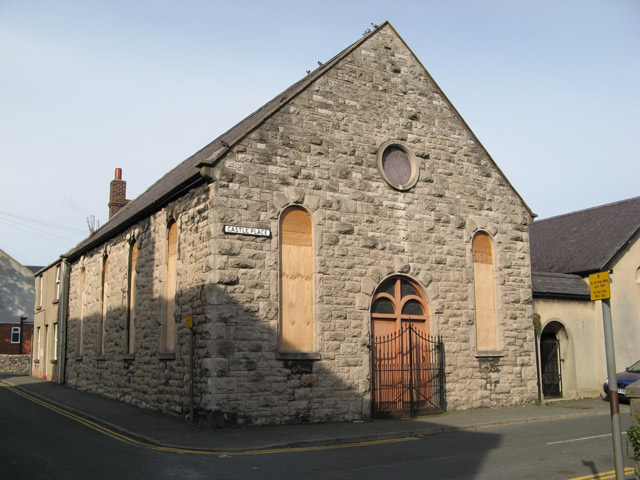
Image: © Jonathan Wilkins Taken: 15 Aug 2008
A very plain building dating from 1863 in the 'religious' quarter of the town adjacent to Eglwys Crist and close to St. Theresa's. The plain building to the right is an extension containing a schoolroom which was added in the 1930's. Sadly, the building is now disused and boarded-up.
Images are licensed for reuse under creativecommons.org/licenses/by-sa/2.0
Image Location
Latitude
53.287174
Longitude
-3.583879