Farm Track, Blackhillock
Introduction
The photograph on this page of Farm Track, Blackhillock by Gordon Hatton as part of the Geograph project.
The Geograph project started in 2005 with the aim of publishing, organising and preserving representative images for every square kilometre of Great Britain, Ireland and the Isle of Man.

There are currently over 7.5m images from over 14,400 individuals and you can help contribute to the project by visiting https://www.geograph.org.uk
Farm Track, Blackhillock
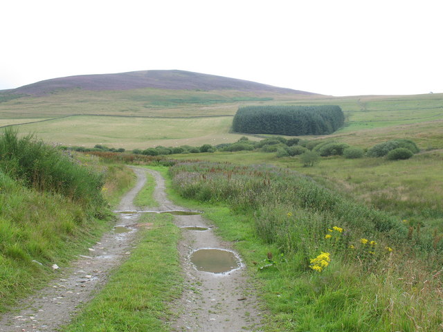
Image: © Gordon Hatton Taken: 7 Aug 2008
Two tracks lead from the back of Blackhillock Farm. The better track [this one] leads to nowhere in particular, whilst the less well defined track [off picture to right] leads up on to a ridge.
Images are licensed for reuse under creativecommons.org/licenses/by-sa/2.0
Image Location


Leaflet Map data © OpenStreetMap
Latitude
57.231617
Longitude
-3.002625