Cuby: the Fal valley near Tregony
Introduction
The photograph on this page of Cuby: the Fal valley near Tregony by Martin Bodman as part of the Geograph project.
The Geograph project started in 2005 with the aim of publishing, organising and preserving representative images for every square kilometre of Great Britain, Ireland and the Isle of Man.

There are currently over 7.5m images from over 14,400 individuals and you can help contribute to the project by visiting https://www.geograph.org.uk
Cuby: the Fal valley near Tregony
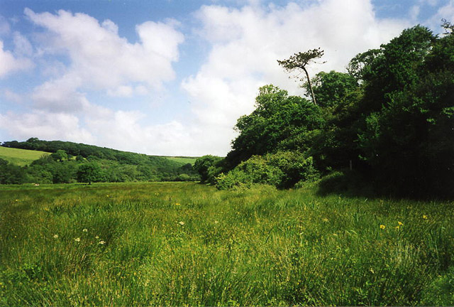
Image: © Martin Bodman Taken: Unknown
The river has silted up significantly over the centuries and runs by the line of trees on the left. This shot was taken near the site of Tregony’s medieval mills. A footpath leads up the valley to Golden Mill – see Image – on the way to Grampound
Images are licensed for reuse under creativecommons.org/licenses/by-sa/2.0
Image Location


Leaflet Map data © OpenStreetMap
Latitude
50.269221
Longitude
-4.917327