Pasture land south-west of Coedmawr.
Introduction
The photograph on this page of Pasture land south-west of Coedmawr. by Jonathan Billinger as part of the Geograph project.
The Geograph project started in 2005 with the aim of publishing, organising and preserving representative images for every square kilometre of Great Britain, Ireland and the Isle of Man.

There are currently over 7.5m images from over 14,400 individuals and you can help contribute to the project by visiting https://www.geograph.org.uk
Pasture land south-west of Coedmawr.
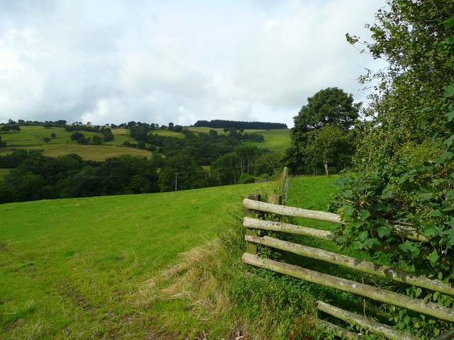
Image: © Jonathan Billinger Taken: 15 Aug 2008
The wood in the distance is at Cefn Sarnau on Battle Hill. In between is Nant y Groes dingle.
Images are licensed for reuse under creativecommons.org/licenses/by-sa/2.0
Image Location
Latitude
52.001467
Longitude
-3.418482