Eleanor Street, Rastrick
Introduction
The photograph on this page of Eleanor Street, Rastrick by Humphrey Bolton as part of the Geograph project.
The Geograph project started in 2005 with the aim of publishing, organising and preserving representative images for every square kilometre of Great Britain, Ireland and the Isle of Man.

There are currently over 7.5m images from over 14,400 individuals and you can help contribute to the project by visiting https://www.geograph.org.uk
Eleanor Street, Rastrick
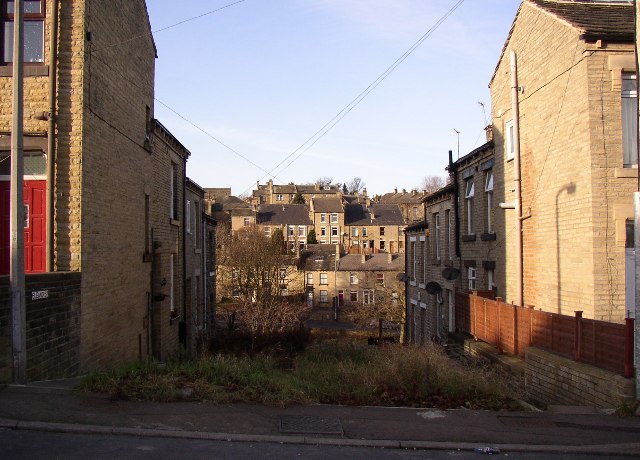
Image: © Humphrey Bolton Taken: 17 Dec 2005
Taken from Brook Street, looking towards Bramston Street. The western part of Eleanor Street is unmade to the extent of being overgrown! However the point of the photo is the houses above Bramston Street in the distance, which rise up the steep hillside in tiers. See also photo of Capel Street.
Images are licensed for reuse under creativecommons.org/licenses/by-sa/2.0
Image Location


Leaflet Map data © OpenStreetMap
Latitude
53.695152
Longitude
-1.786421