Looking Down Toton Lane
Introduction
The photograph on this page of Looking Down Toton Lane by Oxymoron as part of the Geograph project.
The Geograph project started in 2005 with the aim of publishing, organising and preserving representative images for every square kilometre of Great Britain, Ireland and the Isle of Man.

There are currently over 7.5m images from over 14,400 individuals and you can help contribute to the project by visiting https://www.geograph.org.uk
Looking Down Toton Lane
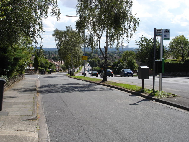
Image: © Oxymoron Taken: 14 Aug 2008
Photo taken from the service road at the side of (busy) Toton Lane; the cooling towers of Ratcliffe on Soar power station (on the other side of the Trent) are just visible on the horizon.
Images are licensed for reuse under creativecommons.org/licenses/by-sa/2.0
Image Location
Latitude
52.912557
Longitude
-1.261045