D I Y Level Crossing
Introduction
The photograph on this page of D I Y Level Crossing by Colin Bates as part of the Geograph project.
The Geograph project started in 2005 with the aim of publishing, organising and preserving representative images for every square kilometre of Great Britain, Ireland and the Isle of Man.

There are currently over 7.5m images from over 14,400 individuals and you can help contribute to the project by visiting https://www.geograph.org.uk
D I Y Level Crossing
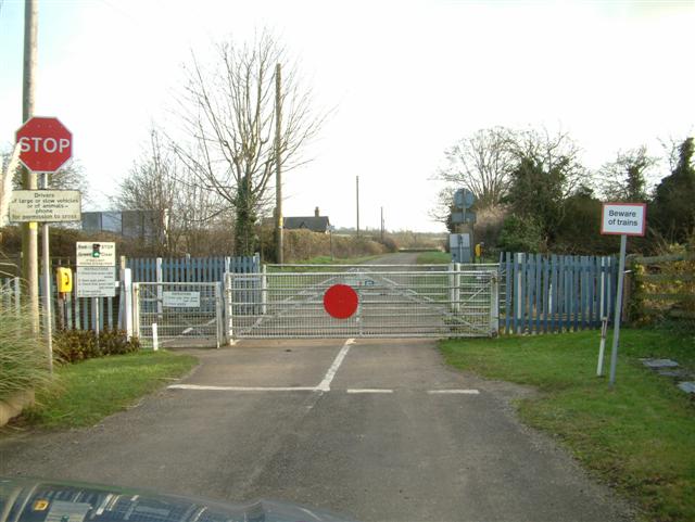
Image: © Colin Bates Taken: 16 Dec 2005
If the light is green, open both gates, check the light is still green, CROSS QUICKLY, Close both gates. Hmmmmm - I think I'll find another way!
Images are licensed for reuse under creativecommons.org/licenses/by-sa/2.0
Image Location
Latitude
51.821303
Longitude
-1.245511