The North Down Coastal Path, Bangor
Introduction
The photograph on this page of The North Down Coastal Path, Bangor by Albert Bridge as part of the Geograph project.
The Geograph project started in 2005 with the aim of publishing, organising and preserving representative images for every square kilometre of Great Britain, Ireland and the Isle of Man.

There are currently over 7.5m images from over 14,400 individuals and you can help contribute to the project by visiting https://www.geograph.org.uk
The North Down Coastal Path, Bangor
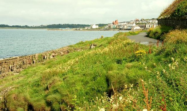
Image: © Albert Bridge Taken: 12 Aug 2008
The North Down Coastal Path, looking towards Wilson’s Point, showing just how close it is to the sea.
Images are licensed for reuse under creativecommons.org/licenses/by-sa/2.0
Image Location
Latitude
54.667882
Longitude
-5.68357