Nant Tywynni valley
Introduction
The photograph on this page of Nant Tywynni valley by Jonathan Billinger as part of the Geograph project.
The Geograph project started in 2005 with the aim of publishing, organising and preserving representative images for every square kilometre of Great Britain, Ireland and the Isle of Man.

There are currently over 7.5m images from over 14,400 individuals and you can help contribute to the project by visiting https://www.geograph.org.uk
Nant Tywynni valley
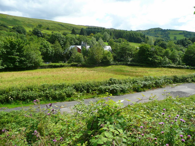
Image: © Jonathan Billinger Taken: 8 Aug 2008
View south-east from the A4067 with the 538m bump of Carreg Cadno in the distance, right. The building is some kind of indeterminate factory.
Images are licensed for reuse under creativecommons.org/licenses/by-sa/2.0
Image Location
Latitude
51.84375
Longitude
-3.66582