Whitehaven: the Bransty Arch
Introduction
The photograph on this page of Whitehaven: the Bransty Arch by Chris Downer as part of the Geograph project.
The Geograph project started in 2005 with the aim of publishing, organising and preserving representative images for every square kilometre of Great Britain, Ireland and the Isle of Man.

There are currently over 7.5m images from over 14,400 individuals and you can help contribute to the project by visiting https://www.geograph.org.uk
Whitehaven: the Bransty Arch
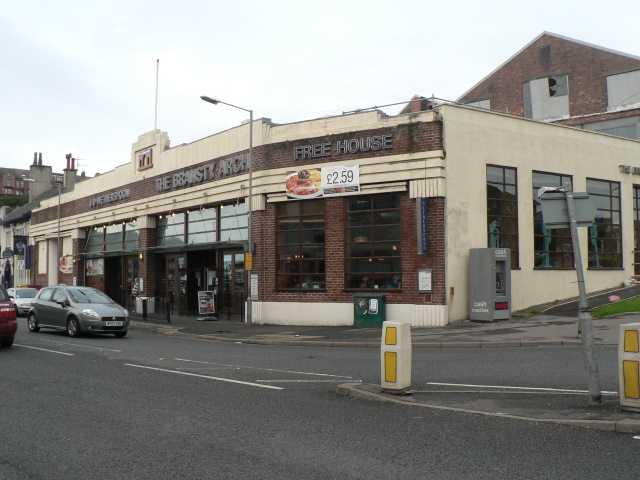
Image: © Chris Downer Taken: 7 Aug 2008
This Wetherspoon's pub, opened in 2003, gets its name from the landmark bridge that stood opposite, and was used to carry coal to the docks. Built around 1800, the arch was demolished in the 1920s.
Images are licensed for reuse under creativecommons.org/licenses/by-sa/2.0
Image Location
Latitude
54.550604
Longitude
-3.586839