Track and footpath to Wyrfa-uchaf
Introduction
The photograph on this page of Track and footpath to Wyrfa-uchaf by Jonathan Billinger as part of the Geograph project.
The Geograph project started in 2005 with the aim of publishing, organising and preserving representative images for every square kilometre of Great Britain, Ireland and the Isle of Man.

There are currently over 7.5m images from over 14,400 individuals and you can help contribute to the project by visiting https://www.geograph.org.uk
Track and footpath to Wyrfa-uchaf
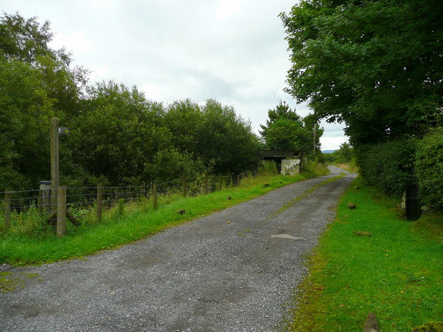
Image: © Jonathan Billinger Taken: 8 Aug 2008
Possibly used more when the mining was in full swing.
Images are licensed for reuse under creativecommons.org/licenses/by-sa/2.0
Image Location


Leaflet Map data © OpenStreetMap
Latitude
51.744402
Longitude
-3.573659