Green Track
Introduction
The photograph on this page of Green Track by Keith Evans as part of the Geograph project.
The Geograph project started in 2005 with the aim of publishing, organising and preserving representative images for every square kilometre of Great Britain, Ireland and the Isle of Man.

There are currently over 7.5m images from over 14,400 individuals and you can help contribute to the project by visiting https://www.geograph.org.uk
Green Track
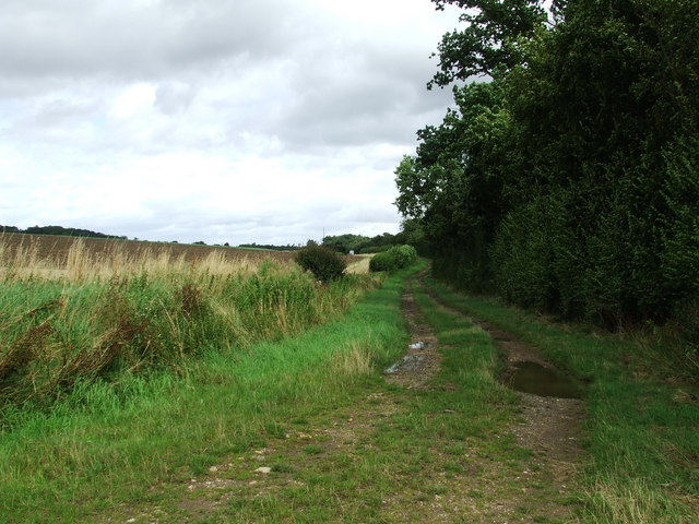
Image: © Keith Evans Taken: 10 Aug 2008
Looking north along a farm track with a transmitter mast in the distance that is located at the highest point in Suffolk.
Images are licensed for reuse under creativecommons.org/licenses/by-sa/2.0
Image Location


Leaflet Map data © OpenStreetMap
Latitude
52.155283
Longitude
0.605991