Newton
Introduction
The photograph on this page of Newton by Gordon Hatton as part of the Geograph project.
The Geograph project started in 2005 with the aim of publishing, organising and preserving representative images for every square kilometre of Great Britain, Ireland and the Isle of Man.

There are currently over 7.5m images from over 14,400 individuals and you can help contribute to the project by visiting https://www.geograph.org.uk
Newton
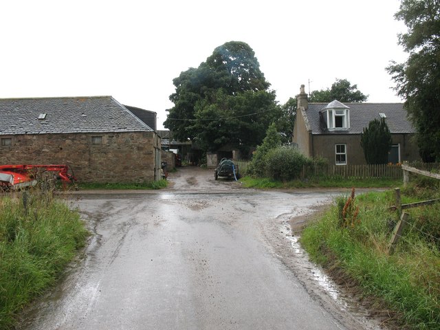
Image: © Gordon Hatton Taken: 5 Aug 2008
Marked as Newton on the map, the settlement turns out to be no more than a farm with extensive barns.
Images are licensed for reuse under creativecommons.org/licenses/by-sa/2.0
Image Location
Latitude
57.190458
Longitude
-2.934662