Pillaton mill weir on the river Lynher
Introduction
The photograph on this page of Pillaton mill weir on the river Lynher by Trevor Rickard as part of the Geograph project.
The Geograph project started in 2005 with the aim of publishing, organising and preserving representative images for every square kilometre of Great Britain, Ireland and the Isle of Man.

There are currently over 7.5m images from over 14,400 individuals and you can help contribute to the project by visiting https://www.geograph.org.uk
Pillaton mill weir on the river Lynher
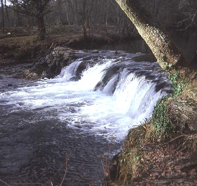
Image: © Trevor Rickard Taken: Unknown
Late winter rains have swollen the river above the short low-level central overflow to cover much of the length of this weir, which feeds the leat off to the right to Pillaton Mill some distance down stream. No smooth cement structure here; the weir is made from large boulders.
Images are licensed for reuse under creativecommons.org/licenses/by-sa/2.0
Image Location
Latitude
50.461515
Longitude
-4.319287