Shoeburyness: Waterloo Road
Introduction
The photograph on this page of Shoeburyness: Waterloo Road by Nigel Cox as part of the Geograph project.
The Geograph project started in 2005 with the aim of publishing, organising and preserving representative images for every square kilometre of Great Britain, Ireland and the Isle of Man.

There are currently over 7.5m images from over 14,400 individuals and you can help contribute to the project by visiting https://www.geograph.org.uk
Shoeburyness: Waterloo Road
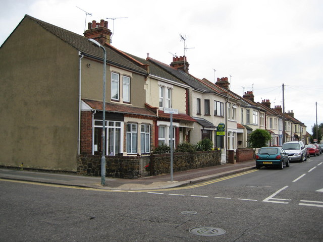
Image: © Nigel Cox Taken: 3 Aug 2008
Waterloo Road is in Cambridge Town. Nowadays Cambridge Town merges into the built-up area of Thorpe Bay and the rest of the conurbation of Southend-on-Sea, but looking at old Ordnance Survey maps of the Victorian period the isolation of the settlement and its role in providing accommodation to civilian workers for the military garrison at Shoeburyness is quite evident. Waterloo Road does not appear in the Ordnance Survey map of 1898 although the next street to the south, once Grove Road, but now Chelmer Road, is shown.
Images are licensed for reuse under creativecommons.org/licenses/by-sa/2.0
Image Location
Latitude
51.531919
Longitude
0.780464