No entry?
Introduction
The photograph on this page of No entry? by michael ely as part of the Geograph project.
The Geograph project started in 2005 with the aim of publishing, organising and preserving representative images for every square kilometre of Great Britain, Ireland and the Isle of Man.

There are currently over 7.5m images from over 14,400 individuals and you can help contribute to the project by visiting https://www.geograph.org.uk
No entry?
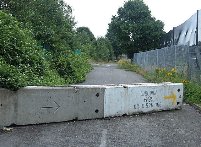
Image: © michael ely Taken: 6 Aug 2008
Looking east from the access road to the Lancashire Health Club at Bowlee. The track beyond, that runs to the north of a golf driving range, is now blocked for vehicles. Presumably it has been a road in the past judging by the white lines down the centre. But there's no traffic sign preventing or limiting access.
Images are licensed for reuse under creativecommons.org/licenses/by-sa/2.0
Image Location
Latitude
53.555525
Longitude
-2.234234