The Old Road to Bulley and Churcham
Introduction
The photograph on this page of The Old Road to Bulley and Churcham by Bob Embleton as part of the Geograph project.
The Geograph project started in 2005 with the aim of publishing, organising and preserving representative images for every square kilometre of Great Britain, Ireland and the Isle of Man.

There are currently over 7.5m images from over 14,400 individuals and you can help contribute to the project by visiting https://www.geograph.org.uk
The Old Road to Bulley and Churcham
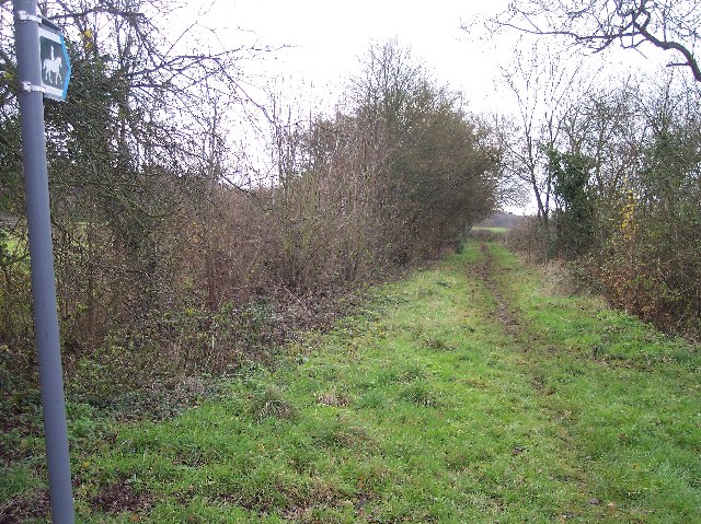
Image: © Bob Embleton Taken: 14 Dec 2005
Now down graded to a mere bridleway. Looking SSW from the 90 degree bend in the no through road to Whitelands.
Images are licensed for reuse under creativecommons.org/licenses/by-sa/2.0
Image Location
Latitude
51.885288
Longitude
-2.332668