Felled area near Liddel Lodge
Introduction
The photograph on this page of Felled area near Liddel Lodge by Richard Webb as part of the Geograph project.
The Geograph project started in 2005 with the aim of publishing, organising and preserving representative images for every square kilometre of Great Britain, Ireland and the Isle of Man.

There are currently over 7.5m images from over 14,400 individuals and you can help contribute to the project by visiting https://www.geograph.org.uk
Felled area near Liddel Lodge
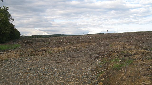
Image: © Richard Webb Taken: 4 Aug 2008
Most of this privately managed bit of Kershope Forest has been harvested and replanted recently. This block has just been felled.
Images are licensed for reuse under creativecommons.org/licenses/by-sa/2.0
Image Location
Latitude
55.109467
Longitude
-2.834984