Dykecrofts
Introduction
The photograph on this page of Dykecrofts by Richard Webb as part of the Geograph project.
The Geograph project started in 2005 with the aim of publishing, organising and preserving representative images for every square kilometre of Great Britain, Ireland and the Isle of Man.

There are currently over 7.5m images from over 14,400 individuals and you can help contribute to the project by visiting https://www.geograph.org.uk
Dykecrofts
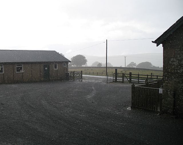
Image: © Richard Webb Taken: 1 Aug 2008
The information centre and carpark for the paths and bike tracks of Newcastleton Forest. Taken while sheltering from a heavy shower.
Images are licensed for reuse under creativecommons.org/licenses/by-sa/2.0
Image Location


Leaflet Map data © OpenStreetMap
Latitude
55.178462
Longitude
-2.783823