Potato field on Perrystone Hill
Introduction
The photograph on this page of Potato field on Perrystone Hill by Jonathan Billinger as part of the Geograph project.
The Geograph project started in 2005 with the aim of publishing, organising and preserving representative images for every square kilometre of Great Britain, Ireland and the Isle of Man.

There are currently over 7.5m images from over 14,400 individuals and you can help contribute to the project by visiting https://www.geograph.org.uk
Potato field on Perrystone Hill
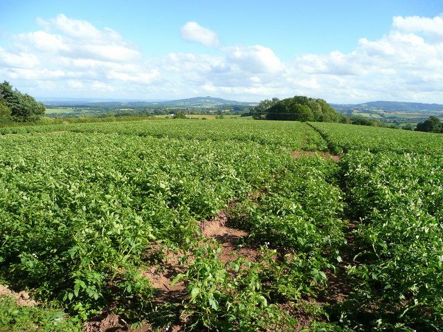
Image: © Jonathan Billinger Taken: 1 Aug 2008
Looking south over Coldborough Park. In the distance is May Hill, centre, with the Cotswold scarp, left, and the edge of the Forest of Dean, right.
Images are licensed for reuse under creativecommons.org/licenses/by-sa/2.0
Image Location


Leaflet Map data © OpenStreetMap
Latitude
51.958548
Longitude
-2.532437