Lane junction, Chipley
Introduction
The photograph on this page of Lane junction, Chipley by Derek Harper as part of the Geograph project.
The Geograph project started in 2005 with the aim of publishing, organising and preserving representative images for every square kilometre of Great Britain, Ireland and the Isle of Man.

There are currently over 7.5m images from over 14,400 individuals and you can help contribute to the project by visiting https://www.geograph.org.uk
Lane junction, Chipley
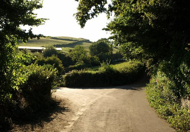
Image: © Derek Harper Taken: 27 Jul 2008
The lane shown in Image reaches a junction with the lane on the left heading into the few houses that comprise the hamlet, while the lane on the right climbs to South Knighton. The farm buildings are at Chipley Farm.
Images are licensed for reuse under creativecommons.org/licenses/by-sa/2.0
Image Location
Latitude
50.537093
Longitude
-3.67904