Red Lees, Ketley
Introduction
The photograph on this page of Red Lees, Ketley by Mike White as part of the Geograph project.
The Geograph project started in 2005 with the aim of publishing, organising and preserving representative images for every square kilometre of Great Britain, Ireland and the Isle of Man.

There are currently over 7.5m images from over 14,400 individuals and you can help contribute to the project by visiting https://www.geograph.org.uk
Red Lees, Ketley
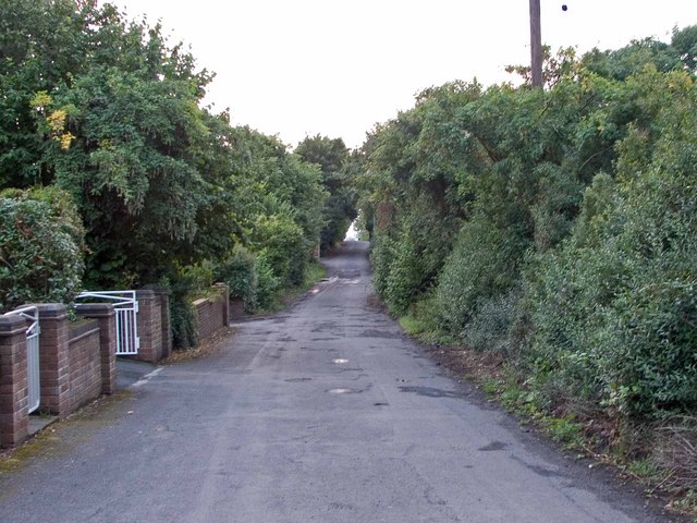
Image: © Mike White Taken: 29 Jul 2008
Red Lees is a long but unadopted residential street close to the old A5. Through the triangular gap at the end the traffic lights next to the Ketley Cod chip shop can hardly be seen.
Images are licensed for reuse under creativecommons.org/licenses/by-sa/2.0
Image Location
Latitude
52.69526
Longitude
-2.479363