Looking across the basin to St Mary's Island
Introduction
The photograph on this page of Looking across the basin to St Mary's Island by Martin Coull as part of the Geograph project.
The Geograph project started in 2005 with the aim of publishing, organising and preserving representative images for every square kilometre of Great Britain, Ireland and the Isle of Man.

There are currently over 7.5m images from over 14,400 individuals and you can help contribute to the project by visiting https://www.geograph.org.uk
Looking across the basin to St Mary's Island
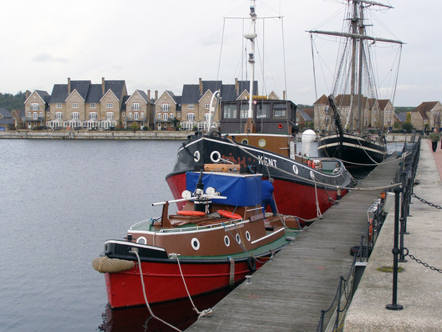
Image: © Martin Coull Taken: 10 Nov 2006
This Basin was used for final fit out before ships were handed to the navy. Typical Naval quarters on St Mary's Island are in the background
Images are licensed for reuse under creativecommons.org/licenses/by-sa/2.0
Image Location
Latitude
51.40387
Longitude
0.537728