Birtley
Introduction
The photograph on this page of Birtley by Trevor Rickard as part of the Geograph project.
The Geograph project started in 2005 with the aim of publishing, organising and preserving representative images for every square kilometre of Great Britain, Ireland and the Isle of Man.

There are currently over 7.5m images from over 14,400 individuals and you can help contribute to the project by visiting https://www.geograph.org.uk
Birtley
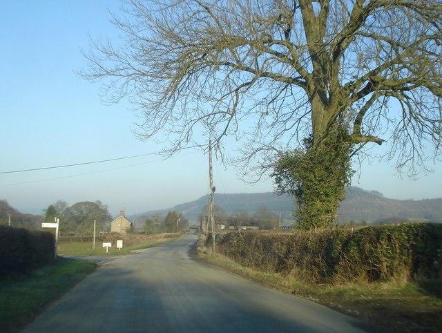
Image: © Trevor Rickard Taken: 18 Feb 2008
Scattered houses make up this little community. Looking north-east along the road to Letton with a left turn for Birtley village. In the distance is the wooded hillside of Wigmore Rolls.
Images are licensed for reuse under creativecommons.org/licenses/by-sa/2.0
Image Location
Latitude
52.318187
Longitude
-2.92361