St Peter's Parish Church, Thundersley
Introduction
The photograph on this page of St Peter's Parish Church, Thundersley by Trevor Harris as part of the Geograph project.
The Geograph project started in 2005 with the aim of publishing, organising and preserving representative images for every square kilometre of Great Britain, Ireland and the Isle of Man.

There are currently over 7.5m images from over 14,400 individuals and you can help contribute to the project by visiting https://www.geograph.org.uk
St Peter's Parish Church, Thundersley
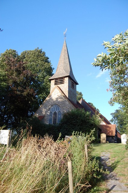
Image: © Trevor Harris Taken: 1 Aug 2008
St Peter's stands at the top of quite a steep hill (behind me as I took the photo). The white notice explains that the fenced area of the churchyard (in the foreground) has been closed to the public due to subsidence.
Images are licensed for reuse under creativecommons.org/licenses/by-sa/2.0
Image Location
Latitude
51.568635
Longitude
0.570562