Main Street, Long Riston
Introduction
The photograph on this page of Main Street, Long Riston by Paul Glazzard as part of the Geograph project.
The Geograph project started in 2005 with the aim of publishing, organising and preserving representative images for every square kilometre of Great Britain, Ireland and the Isle of Man.

There are currently over 7.5m images from over 14,400 individuals and you can help contribute to the project by visiting https://www.geograph.org.uk
Main Street, Long Riston
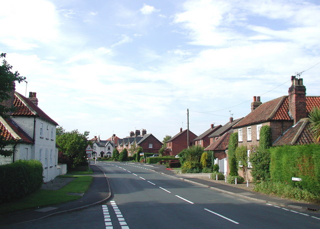
Image: © Paul Glazzard Taken: 30 Jul 2008
Looking north from the junction of Rise Lane and Arnold Lane East, with Burton Cottage on the left and Ivy House on the right. Main Street was part of the busy A165 route between Hull and Bridlington until a bypass was opened to the west in 1986 taking most of the through traffic away from the village centre.
Images are licensed for reuse under creativecommons.org/licenses/by-sa/2.0
Image Location
Latitude
53.862166
Longitude
-0.287347