Patton's Lane, Holywood
Introduction
The photograph on this page of Patton's Lane, Holywood by Rossographer as part of the Geograph project.
The Geograph project started in 2005 with the aim of publishing, organising and preserving representative images for every square kilometre of Great Britain, Ireland and the Isle of Man.

There are currently over 7.5m images from over 14,400 individuals and you can help contribute to the project by visiting https://www.geograph.org.uk
Patton's Lane, Holywood
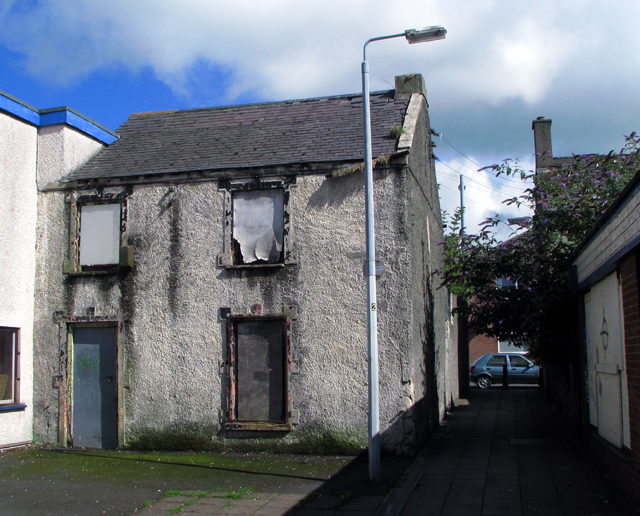
Image: © Rossographer Taken: 29 Jul 2008
Patton's Lane runs between High Street and Church View. This derelict house sits in the middle. See also the similar Alexandra Place, located further along High Street Image
Images are licensed for reuse under creativecommons.org/licenses/by-sa/2.0
Image Location


Leaflet Map data © OpenStreetMap
Latitude
54.640324
Longitude
-5.835561