The road from Brinkworth to The Common
Introduction
The photograph on this page of The road from Brinkworth to The Common by Brian Robert Marshall as part of the Geograph project.
The Geograph project started in 2005 with the aim of publishing, organising and preserving representative images for every square kilometre of Great Britain, Ireland and the Isle of Man.

There are currently over 7.5m images from over 14,400 individuals and you can help contribute to the project by visiting https://www.geograph.org.uk
The road from Brinkworth to The Common
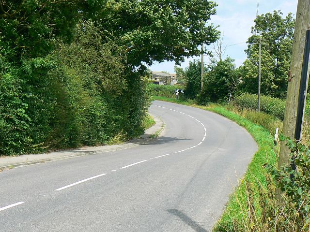
Image: © Brian Robert Marshall Taken: 29 Jul 2008
The road leads into the small settlement of The Common part of which is just visible on the other side of the bend.
Images are licensed for reuse under creativecommons.org/licenses/by-sa/2.0
Image Location
Latitude
51.562974
Longitude
-1.968214