Rayboulds Bridge - Walsall Canal
Introduction
The photograph on this page of Rayboulds Bridge - Walsall Canal by Adrian Rothery as part of the Geograph project.
The Geograph project started in 2005 with the aim of publishing, organising and preserving representative images for every square kilometre of Great Britain, Ireland and the Isle of Man.

There are currently over 7.5m images from over 14,400 individuals and you can help contribute to the project by visiting https://www.geograph.org.uk
Rayboulds Bridge - Walsall Canal
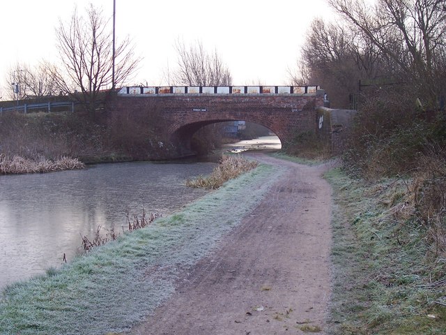
Image: © Adrian Rothery Taken: 6 Feb 2007
Supports Rayboulds Bridge Road. Originally gave access to a power station and was quite busy.
Images are licensed for reuse under creativecommons.org/licenses/by-sa/2.0
Image Location
Latitude
52.595095
Longitude
-1.995233