Dam House
Introduction
The photograph on this page of Dam House by SMJ as part of the Geograph project.
The Geograph project started in 2005 with the aim of publishing, organising and preserving representative images for every square kilometre of Great Britain, Ireland and the Isle of Man.

There are currently over 7.5m images from over 14,400 individuals and you can help contribute to the project by visiting https://www.geograph.org.uk
Dam House
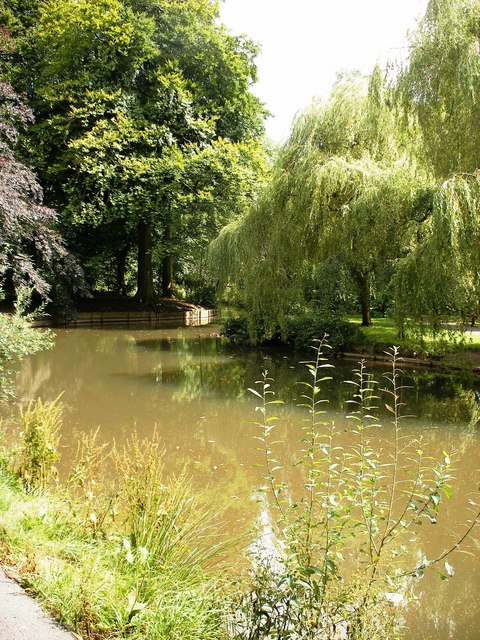
Image: © SMJ Taken: 29 Jul 2008
The pond in the grounds of Dam House. Once home to the Mort Family this historic house is open to the Community and is owned by a heritage trust.
Images are licensed for reuse under creativecommons.org/licenses/by-sa/2.0
Image Location
Latitude
53.503208
Longitude
-2.454361